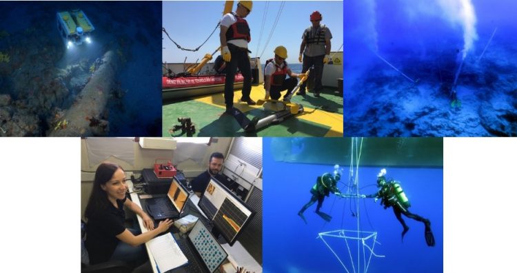
Shipwreck Survey and Excavation
Shipwreck Survey and Excavation
- Scientific scuba diving
- Archaeo-geophysical survey (by using side scan sonar, subbottom profiler, multibeam bathymetry, magnetometer)
- ROV imaging
- Underwater photography and video imaging, photogrammetry
- Geographical information system for data processing and mapping
- Shipwreck site mapping